Mourne Way

|
Location: County Down
|
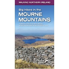
Big Hikes in the Mourne Mountains | Knife Edge Guide
Big Hikes in the Mourne Mountains A collection of epic long-distance routes for walkers and runners in Northern Ireland's highest mountains, which sweep majestically down to the Irish Sea at the pr..
€15.99 €19.99 Ex Tax: €15.99
Mourne Mountains | Knife Edge Guide
The Mourne Mountains 30 epic walks in Northern Ireland's highest mountains which sweep majestically down to the Irish Sea at the pretty seaside town of Newcastle. The routes have been hand-picke..
€13.99 €17.99 Ex Tax: €13.99
Mournes | OSNI Activity Map
The Mournes including Slieve Croob Activity Map | 1:25,000 From the rugges granite peaks of the mountains to the picturesque coastline below, The Mournes region is one of only nine Areas of Outs..
€13.00 Ex Tax: €11.45
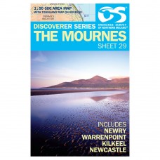
Sheet 29 | Mournes Map | OSNI Discoverer Series
Sheet 29 | The Mournes Discoverer Series | 1:50,000 This 1:50,000 scale map is one of a series of eighteen full colour, digitally compiled maps. Land & Property Services (LPS) is the national ..
€8.80 Ex Tax: €7.75
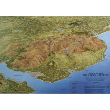
Mournes | Fir Tree Maps
The Mourne Mountains NB: Please note that this map is only available as a flat map, hence there is a price difference to other maps in the Fir Tree series as this map is posted in a cardboard tube...
€13.95 Ex Tax: €12.29
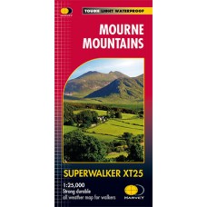
Mourne Mountains | Harvey Maps
Mourne Mountains Superwalker XT25 Map Series Map Includes The Mourne Wall The Mourne Way Slieve Donard: Northern Ireland's highest mountain Superwalker Maps Exceptionally clear Pri..
€18.95 Ex Tax: €16.70
