Harvey Maps
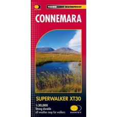
Connemara | Harvey Maps
Connemara Superwalker XT30 Map Series Map Includes Clifden: Town map insert Connemara National Park The Maumturks The Twelve Bens The Western Way: Maam Cross to Leenaun Superwalker Map..
€18.95 Ex Tax: €16.70
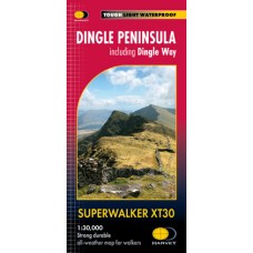
Dingle Peninsula | Harvey Maps
Dingle Peninsula Including Dingle Way Superwalker XT30 Map Series Map Includes Blasket Islands: inset map (1:50,000) Dingle Peninsula Dingle Way: Full Trail Kerry Camino: Full Trail Mount ..
€18.95 Ex Tax: €16.70
MacGillycuddy's Reeks | Harvey Maps
MacGillycuddy's Reeks Superwalker XT30 Map Series Map Includes Carrauntoohil: Ireland's highest mountain (1:15,000 scale for summit) Killarney National Park Kerry Way: Killarney to Glencar T..
€18.95 Ex Tax: €16.70
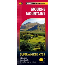
Mourne Mountains | Harvey Maps
Mourne Mountains Superwalker XT25 Map Series Map Includes The Mourne Wall The Mourne Way Slieve Donard: Northern Ireland's highest mountain Superwalker Maps Exceptionally clear Pri..
€18.95 Ex Tax: €16.70
Wicklow Mountains | Harvey Maps
Wicklow Mountains Superwalker XT30 Map Series Map Includes Lugnaquillia: Leinster's highest mountain Military Road: Glencree to Glenmalure St Kevin's Way: Ballinagee Bridge to Glendalough Wi..
€18.95 Ex Tax: €16.70
Pocket Map Lenses | Harvey Maps
Harvey Maps Pocket Map Lenses Lightweight Magnifier for Navigation The Pocket Map Lenses by Harvey Maps are simple but invaluable tool for walkers, hikers, and navigators who rely on paper maps in..
€2.50 Ex Tax: €2.03
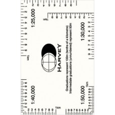
Romer | Harvey Maps
Harvey Maps Romer Accurate Grid Reference Tool for Outdoor Navigation Let Harvey Maps Romer assist with your map-reading. It is a compact and essential tool for accurately plotting grid references..
€3.50 Ex Tax: €2.85
