Featured
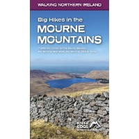
Big Hikes in the Mourne Mountains
Big Hikes in the Mourne Mountains A collection of epic long-distance routes for walkers and runners in Northern Ireland's highest mountains, which sweep majestically down to the Irish Sea at the pr..
€18.99 Ex Tax: €18.99
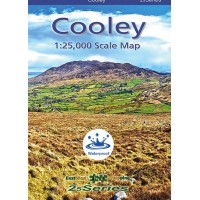
Cooley | 1:25,000 Scale Map | 25Series
Cooley This EastWest Map covers the Cooley Mountains and the Cooley Peninsula in County Louth. The map is drawn to a scale of 1:25,000 with a contour line every 5 metres. It is printed on a robust ..
€16.14 Ex Tax: €14.22
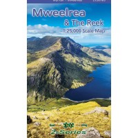
Mweelrea & The Reek | 1:25,000 Scale Map | 25Series
Mweelrea & The Reek 1:25,000 Scale Map | 25Series Definitive detailed map at 1:25,000 scale covers an area from Mweelrea in the South to Croak Patrick in the North. Produced to our 25Series ..
€14.99 Ex Tax: €13.21
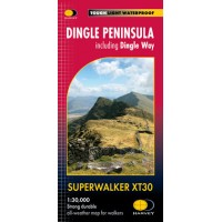
Dingle Peninsula | Including the Dingle Way | Superwalker XT30 Map Series
Dingle Peninsula Including Dingle Way Superwalker XT30 Map Series Map Includes Blasket Islands: inset map (1:50,000) Dingle Peninsula Dingle Way: Full Trail Kerry Camino: Full Trail Mount ..
€15.45 Ex Tax: €13.61
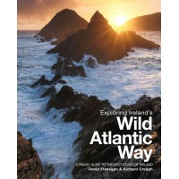
Exploring Ireland’s Wild Atlantic Way | A Travel Guide to the West Coast of Ireland
Exploring Ireland’s Wild Atlantic Way A Travel Guide to the West Coast of Ireland Exploring Ireland’s Wild Atlantic Way is essential reading for anyone planning to visit the Atlantic coast of Ir..
€22.50 Ex Tax: €22.50
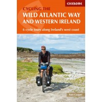
Cycling the Wild Atlantic Way and Western Ireland | 6 Cycle Tours along Ireland's West Coast
Cycling the Wild Atlantic Way and Western Ireland 6 Cycle Tours along Ireland's West Coast Boasting deserted beaches, towering sea-cliffs and tiny harbours – not to mention rich cultural and his..
€21.45 Ex Tax: €21.45
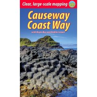
Causeway Coast Way with Moyle Way and Rathlin Island
Causeway Coast Way with Moyle Way and Rathlin Island The unspoiled Causeway Coast of Antrim is one of Ireland's best kept secrets. The UNESCO World Heritage Site of the Giant's Causeway is the j..
€13.99 €15.99 Ex Tax: €13.99
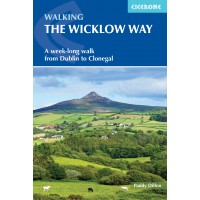
Walking the Wicklow Way
Walking the Wicklow Way A week-long walk from Dublin to Clonegal 130km route from Dublin to Clonegal in seven stages Glendalough and the ruins of the Monastic City Wicklow Mountains, lakes, ..
€14.95 Ex Tax: €14.95
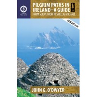
Pilgrim Paths in Ireland - A Guide | From Slieve Mish to Skellig Michael
Pilgrim Paths in Ireland - A Guide From Slieve Mish to Skellig Michael In recent times the popularity of the Camino de Santiago has prompted renewed interest in pilgrim walks in Ireland. Increas..
€16.99 Ex Tax: €16.99
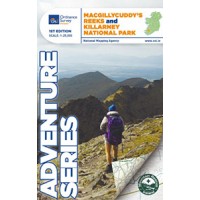
OSI Adventure Series | MacGillycuddy's Reeks and Killarney National Park
MacGillycuddy's Reeks and Killarney National Park Adventure Series | 1:25,000 This map covers an area of 30km x 21km and is drawn to a scale of 1:25,000. The three highest peaks of the MacGillyc..
€13.00 Ex Tax: €11.45
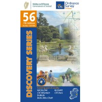
OSI Discovery Series | Sheet 56 | Part of Dublin, Kildare & Wicklow
Sheet 56 | Part of Dublin, Kildare & Wicklow Discovery Series | 1:50,000 *Now available in Standard, Water Resistant or Laminate Finish! Map Includes Ballinastoe Mountain Bike Park ..
€8.80 Ex Tax: €7.75
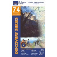
OSI Discovery Series | Sheet 74 | Part of Cork, Limerick, Tipperary & Waterford
Sheet 74 | Part of Cork, Limerick, Tipperary & Waterford Discovery Series | 1:50,000 *Now available in Standard or Laminate Finish! Long Distance Trails Avondhu Way (Blackwater Way..
€8.80 Ex Tax: €7.75
